
Cycling Over Douglas Pass, Colorado
25 April 2017 | Mri Grout
| Distance: 116km/73M | Elevation Gain: 1338m/4390ft |
| Steepest Grade Up: 12% | Elevation Loss: 1128m/3701ft |
| Cars: Some | Amenities: No |
| Shoulder: None | Road: Paved |
Sorry for the ads, but if you turn off your ad blocker then we can keep telling you about cool cycling routes in America.
Things to Know Before Cycling Over Douglas Pass
- All of this information is from one day in April. Prepare for a busier scene during high season, whenever that may be.
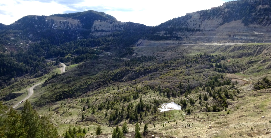
- There isn't a shoulder at Douglas Pass Colorado despite what the 'Colorado Bicycling and Scenic Byways Map' may say. It used to be there, but it hasn't been upkept at all in the last few years and has either eroded away completely or been overrun with waist high plants.
- Semi-trucks do make up about 30% of the traffic that goes over Douglas Pass, Colorado; however it isn't a very busy road - at least when we cycled over it in April it wasn't.
- After leaving Loma, there isn't any water, food, or other real amenities until Rangely. However, there are two reststops with only long drop toilets, with the first being 20 miles south of Rangely and the second closer still.
- There are very few creeks running near Douglas Pass and those that are still there are muddy brown and probably full of cattle poop.
- There are numerous Fremont Native American picturglyph sites for you to see as you cycle over Douglas Pass. They're scattered along the road for about twenty miles south of Rangely, with the most popular one being of 'The Guardian.'
If you liked 'Cycling Over Douglas Pass,' then why not check out these other cycling routes in America?


2017 Rockies
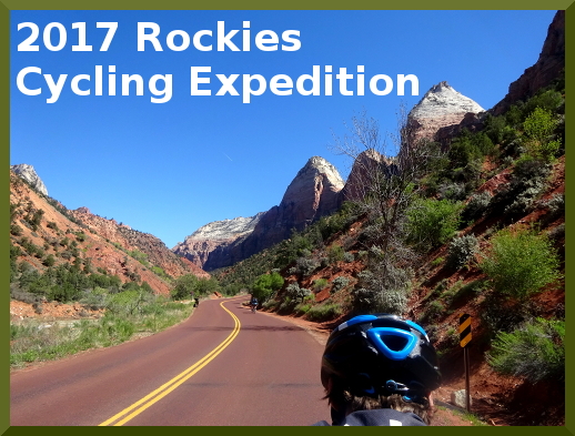
Read about us cycling over Douglas Pass, Colorado in our 2017 Rockies Expedition.
Cycling up Douglas Pass, Colorado comments: